Alyssa Ullrich and her husband love life on the water.
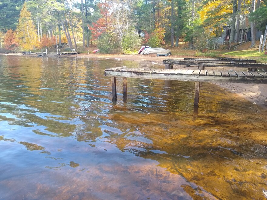
“We have the two docks. Our ski boat goes on this lift, and then we’ve got a fishing boat that goes over on that lift,” she said, standing on her dock on a channel of the Manitowish Chain in Vilas County.
Her nine-month-old boy, Baxter, squirmed in her arms.

For weeks, Ullrich has watched the water level on the ten-lake Manitowish Chain, including her channel between Rest and Stone lakes, go down.
It does every year to protect permanent docks, lifts, and seawalls like hers from ice damage in the winter.
“Our two piers that we have and our boat lifts would be just destroyed in the wintertime [without the drawdown,” Ullrich said. “The water would freeze around them, and then the ice expands. It would just bend the poles on the pier.”
The total drawdown is about three and a half feet of lake level. All of it drains through one point, the Rest Lake Dam, and it all drains during the month of October.
It’s happened that way, more or less, since the late 1930s. But the huge quantity of water has major impacts on the wetlands, animals, and people living downstream.

Even so, John Hanson wouldn’t change a thing.
Hanson is the Manitowish Waters Town Chair and said the drawdown has worked for 80 years.
“People put their seawalls in and their structures in and their docks in based on the fact that there would be a drawdown,” Hanson said. “If that did not happen, there would probably be millions of dollars of damage done.”

But all that water needs to go somewhere, and John Bates thinks he has the best viewpoint to get a sense of its destination.

He goes on his roof and looks south.
“It’s just a huge sheet of water everywhere, rather than a small river running through all of this,” Bates said.
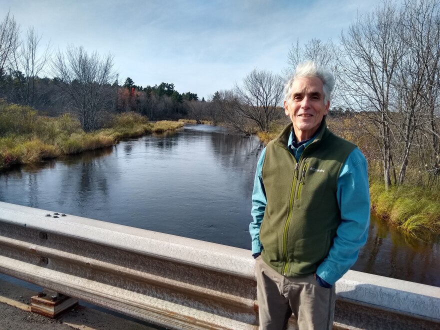
Bates lives on the Manitowish River downstream from the dam. The river and nearby wetlands flood every fall as the chain of lakes is drawn down.
“You’re taking this huge lake and basically putting it into a hose, if you want to think of it that way. It overwhelms the river,” he said.
That’s the opposite of how it would happen naturally. The river and wetlands would normally flood in the spring as the snowpack melts.


Besides occasional flooding in his basement, Bates, a naturalist and author, is concerned about how the reversal harms mammals, reptiles, fish, and bird species that live and reproduce in the river.
“If you’re a semi-aquatic mammal, you have no idea what’s going on on this river. It doesn’t follow any natural kind of understanding they may have in their DNA. It doesn’t work that way,” Bates said. “[The river] would be even more wild and more beautiful if it was managed in an ecological framework versus a framework basically designed to protect property of people along the chain.”
The dam and river have functioned in basically the same way since the Public Service Commission approved an operating order for the Rest Lake Dam in the late 1930s.
But as far back as 2002, downstream people like Bates have pressured the DNR to change how it works.
DNR Environmental Review Coordinator Jon Simonsen was involved in the research, hearings, and proposals that followed, including generating an 83-page environmental assessment in 2012.
“There’s only so much water to work with,” Simonsen said in an interview this month. “There’s not an abundance of water in all years to get everything for everybody. So it’s really a balancing act.”

Earlier this decade, the DNR proposed drawing down the chain just a foot, instead of the usual three and a half feet.
That drew heated reactions from property owners on the chain, concerned their structures would be damaged by ice.
Hanson, the Manitowish Waters Town Chair, even served as a leader in the startup Manitowish Waters Defense Fund, a group formed to stop the plan.
“We took actions to object to the DNR’s proposal to change the operating order,” Hanson said.
But as the debate reached its peak, it stopped abruptly.
In 2015, the state’s budget-writing committee took control of the dam’s operating rules from the DNR, giving it to the legislature. That effectively ensured no major changes would be made to its operating pattern.
Sen. Tom Tiffany (R-Minocqua) inserted the item into a last-minute budget provision.
Over the last three years, under the threat of litigation, a memorandum of understanding (MOU) between the DNR and Xcel Energy, the dam’s owner, has governed its flow.
Underscoring the sensitive nature of the Rest Lake Dam, MOUs are nearly nonexistent elsewhere in Wisconsin dam operation.


“It’s very rare,” said James Yach, the DNR Secretary’s Director for northern Wisconsin. “Like, probably way less than one percent.”
The MOU, which sets guidelines within the bounds of the 1930s operating order, largely keeps the traditional drawdown in place.
“It’s a balancing act. That’s why the MOU was pursued in the first place, is try to establish a balance between, hey, what can we do to help minimize the environmental impacts and then minimize impacts on the property owners, too,” Yach said.
The MOU was put into place in 2016 and will expire next spring.
“It was deliberately designed to be an experimental operating order,” Yach said. “At the end of the four years, which we’re coming up to now, it would be reviewed.”
The DNR is looking at environmental data and getting feedback from people nearby to guide a potential renewal or tweak of the MOU.

But standing on his roof, looking out onto the flooded Manitowish River, Bates said he’s skeptical anything will change.
“I’m resigned, I guess, to this is what it’s going to be until politically things change and until people along the chain itself walk in our shoes a little bit more and are willing to compromise.”
_


